
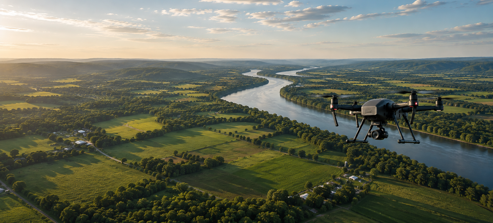
A Clearer View for Better Decisions.
When people, property, and projects are difficult to see from the ground, Aurevo coordinates the right local capability, capture plan, consistent deliverable, and quality review so organizations can act and communicate with confidence.

Important Decisions Deserve a Clear and Trustworthy View.
Aurevo helps organizations see the details that may be difficult, risky, expensive, or impossible to capture from the ground. We align the intended use, field plan, qualified resource, and delivery standard so the information is useful for the decision or story it is meant to support.
Our Core Capabilities

Aerial Media and Marketing
Polished photography, cinematic footage, branded content, events, properties, venues, campaigns, and visual storytelling
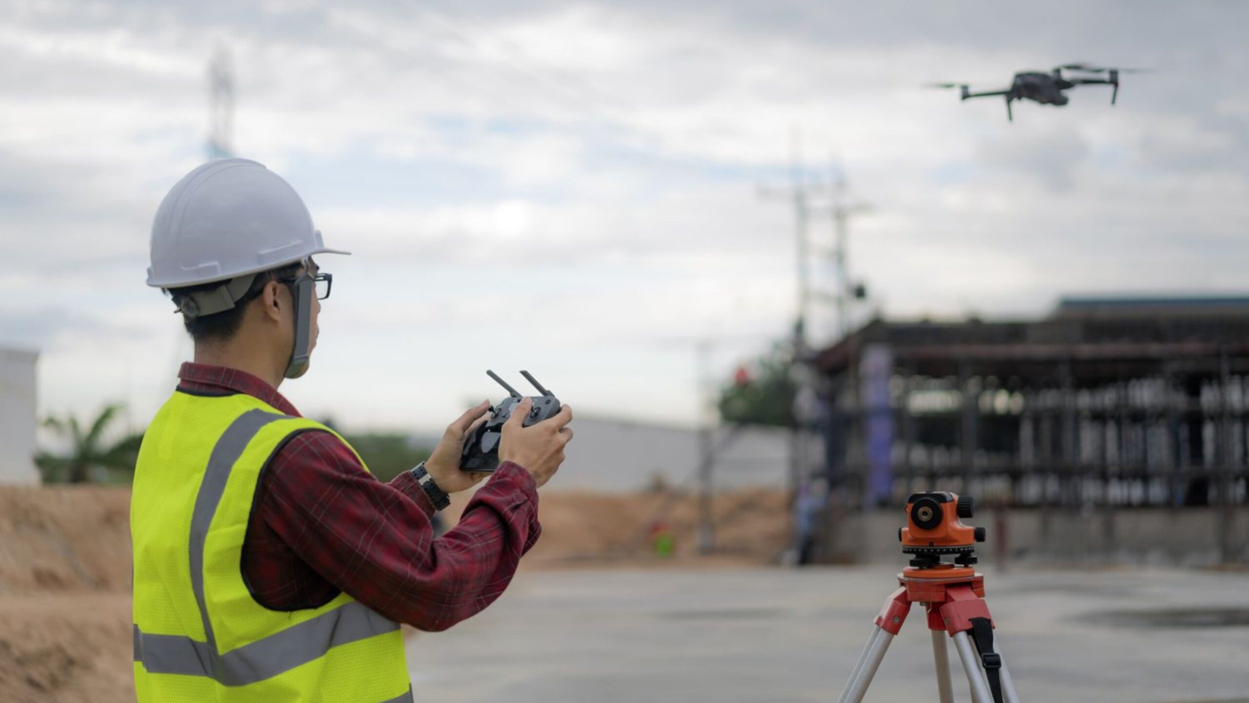
Inspection and Technical Data
Visual and approved thermal data collection for roofs, facilities, solar assets, utilities, infrastructure, telecom and other hard-to-access conditions
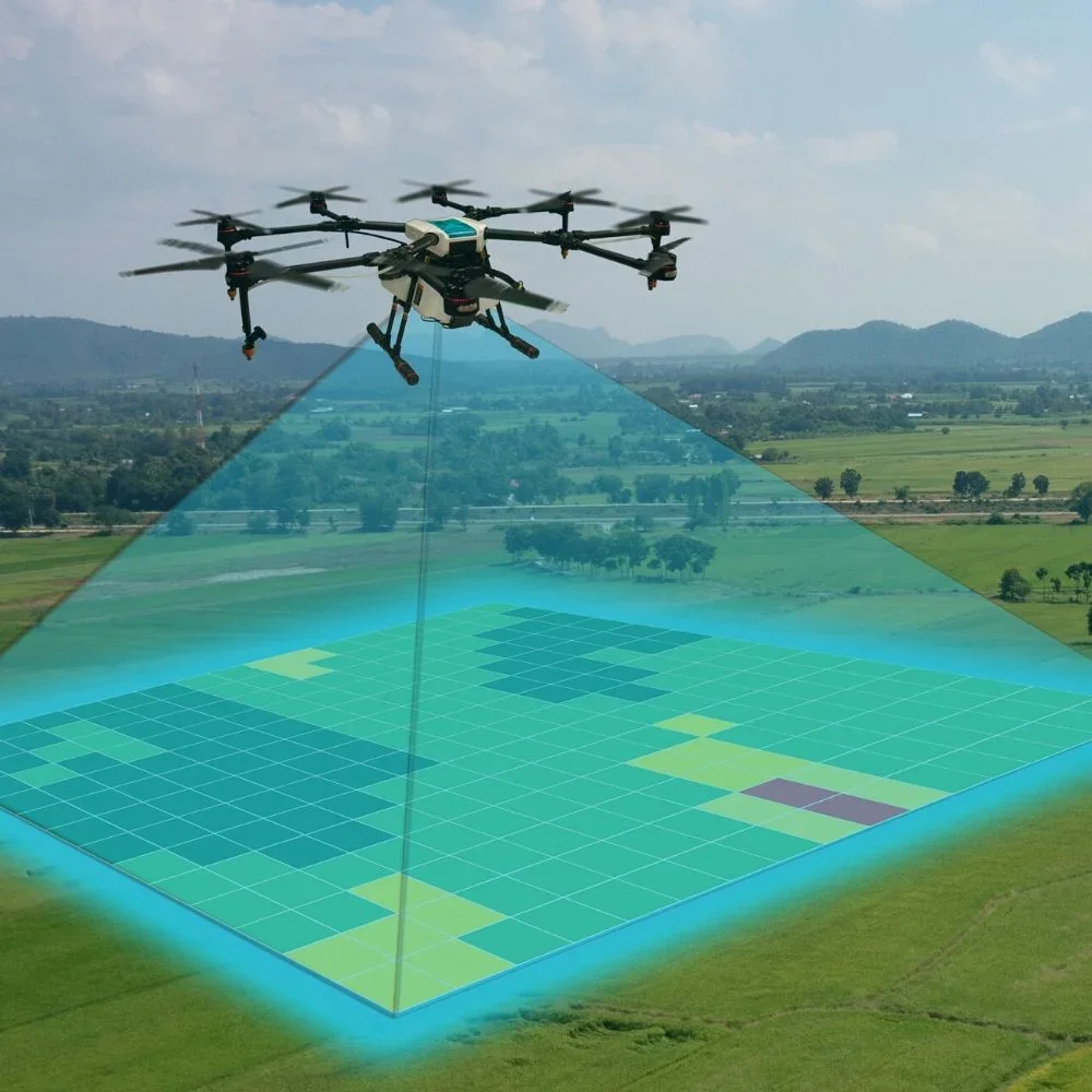
Mapping, Agriculture and Progress
Reference mapping, construction progress, agriculture and multispectral capture, site documentation, recurring visits, and organized visual records.
From the right question
to the right view.
Every project begins with the intended outcome. Aurevo confirms the right capability, coordinates the work, and delivers information prepared for its agreed purpose.
Tell us what you need
Tell us what you need to see, document, understand, measure, monitor, or communicate.
We confirm the right capability
Aurevo reviews the intended use, scope, feasibility, compliance needs, and the capability required for the project.
Coordinated and delivered
The work is coordinated, quality reviewed, organized, and delivered for the agreed purpose.

Independent Should
not Mean Alone.
The Aurevo Preferred Pilot Network gives qualified operators a relationship-based path to shared capacity, clear standards, professional growth, and project support.

Ready to join Network?
Apply today and take text step forward